AGNet ג€“ ArcGISֲ® and EPANET Integration
ATS-Chester developed an interface to link EPAג€™s EPANET software with ESRIג€™s ArcGISֲ® software (it seems that it is an old version).
Applications:
- Water system modeling
- Water quality management
- Facility planning
- GIS integration
- User-friendly modeling
Features:
- Developed using ESRIג€™s latest ArcObjects technology.
- Adds a new toolbar to ArcGIS standard interface.
- Allows you to create and edit your EPANET model from inside GIS.
- Provides a synchronization tool to update existing models from GIS updates.
- Exports GIS layers as a backdrop for EPANET model.
- Allows displaying output results as a thematic map.
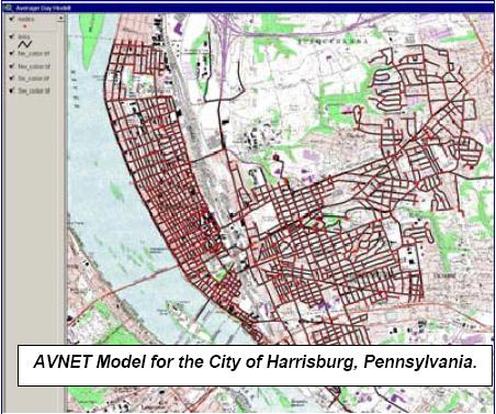
- ArcView 3.x version (AVNet also available).
For more information see ATS-Chester web site.
Book related to the subject:

Gostaria do link para o download do AgNet – ArcGIS
Hello
How can I download AGnet – ArcGis for Epanet 2.0
Regards
Hi
Can I try AGnet ג€“ ArcGis for Epanet 2.0? Where can I download it?
Thanks
I want to know much about this program. if it may be, how to get the softwere…? thanks sirs
hello sir,
i wanted to know how to download this AGnet ג€“ ArcGis for EPANET 2.0… please help me sir.
Thank you,
Indushri Haridas